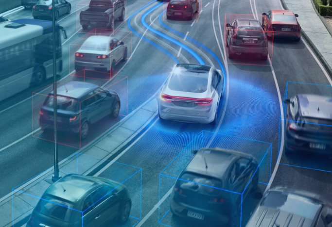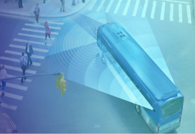
Improve Safety on City Streets
Protect drivers and citizens while receiving actionable data

Harness Data for Infrastructure Improvements
Mobileye allows city planners to access an online map displaying the hot spots on transit routes based on the alert data letting them take preventative actions before a collision can occur.
Learn more
Harness Data for Infrastructure Improvements
Mobileye allows city planners to access an online map displaying the hot spots on transit routes based on the alert data letting them take preventative actions before a collision can occur.
Learn more
Make Your City Autonomous Ready
A highly accurate map, with an ultra-high refresh rate, is a critical pillar of autonomous driving. Mobileye 8™ will collect that critical map data to enable AVs to eventually travel in those areas.
Learn more
Make Your City Autonomous Ready
A highly accurate map, with an ultra-high refresh rate, is a critical pillar of autonomous driving. Mobileye 8™ will collect that critical map data to enable AVs to eventually travel in those areas.
Learn moreDuring our research phase, an officer died in a single vehicle accident crossing a lane marker. It was determined that if his vehicle had been equipped with Mobileye, he may have been able to avoid the accident with a Lane Departure Warning. His death solidified the importance of collision avoidance detectors and changed our conversation from a budget discussion to a human discussion.


