Fleet Safety Knowledge Base
Case studies, white papers and tools to help build your safety culture
Find the Solution for Your Fleet
Fleets Getting Results with Mobileye
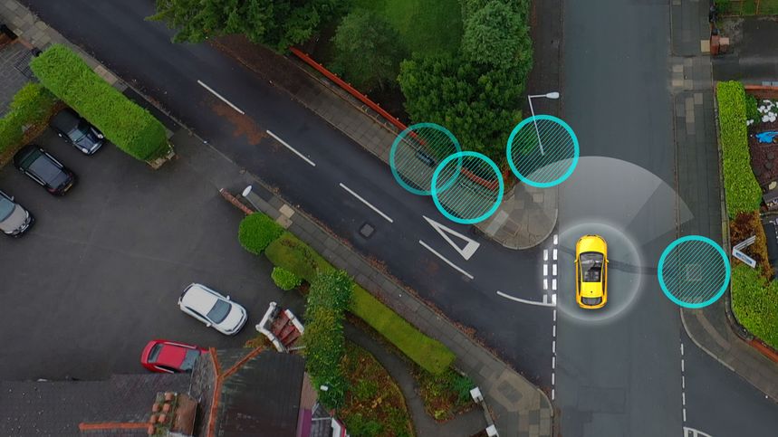
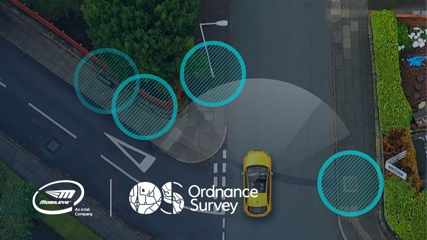
Browse success stories and learn how Mobileye is bringing results to customers >>Ordnance Survey & Mobileye Create a New Type of Data Collection
Mobileye and Ordnance Survey are using Mobileye’s next generation collision avoidance system and Ordnance Survey’s maps to provide more accurate UK location information.
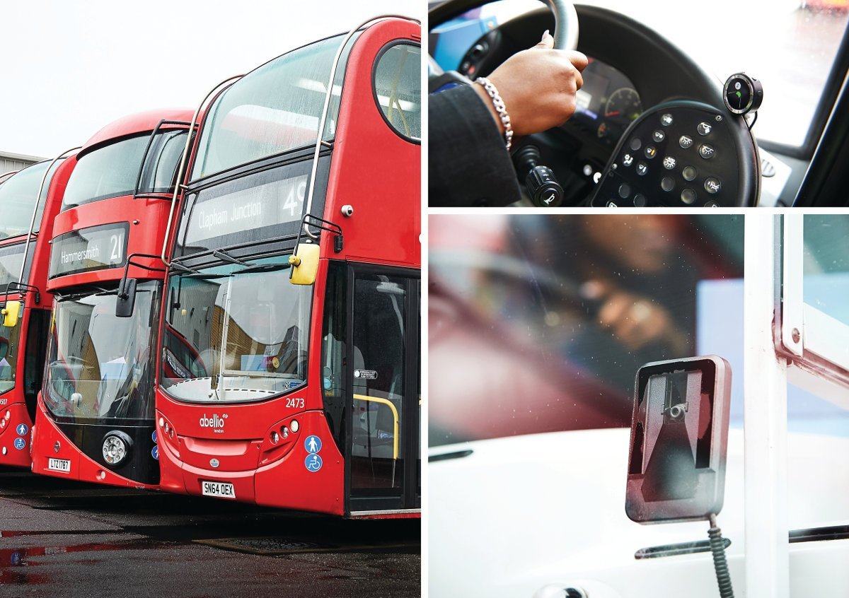
Abellio London lowers on-board bus casualties by 60%
Abellio London, which runs London buses for Transport for London, was determined to lower their fleet’s collision rate as part of Vision Zero, a project to reduce road deaths to zero by 2041. Working with Mobileye, Abellio launched a pilot project, in February 2018, installing collision avoidance systems on 66 buses traveling three different London routes. The trial was done in coordination with drivers and their union and was supported by Transport for London’s Bus Safety Innovation Fund.
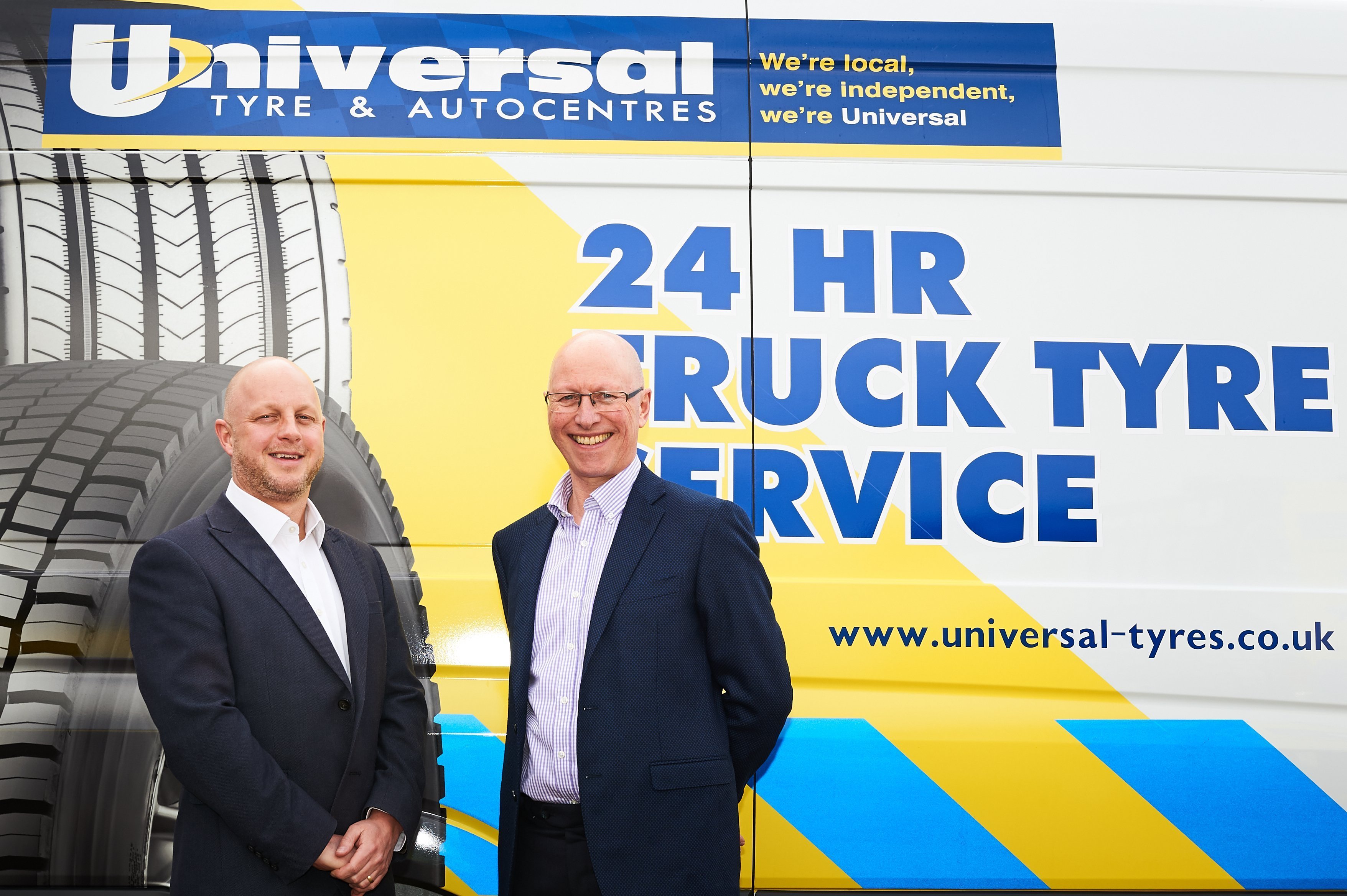
Universal Tyre & Autocentres Dramatically Reduces Collision Rates with Mobileye’s Collision Avoidance System
Universal Tyre & Autocentres was facing a crisis. Collison rates were spiking dramatically, especially collisions where a company driver struck the vehicle in front. Between October 2016 and October 2017 their drivers were involved in 10 such collisions, some of them severe, posing a danger to both their drivers and other.
Best Practices in Fleet Safety
View all white papers >>The 5 Biggest Headaches Fleet Managers Face: A guide to relief from your biggest fleet management headaches
Juggling schedules, managing drivers, maintaining vehicles, pleasing customers… the to-do’s for a fleet manager seem endless. With over a decade of experience in the field, working with fleets, Mobileye understands these challenges – which of them are mere annoyances and which are truly monstrous headaches.
Going Visual: Dash Cams and Collision Avoidance Systems – Is Video Recording Enough?
While dash cams can record a collision and help prove fault, collision avoidance systems are designed to prevent these collisions from happening in the first place. So, which is more beneficial?

Improving the Bottom Line with Collision Avoidance Systems
Reducing collisions are a top priority for fleet managers. Beyond safety concerns for fleet drivers and other road users, the financial burden and logistical headache of collisions is a significant motivator. From direct costs like motor vehicle repair and replacement to indirect costs like loss of business and administrative burden, even one collision can set off a domino effect of losses.

On-demand Webinars to Help Your Career and Fleet
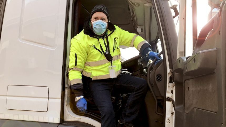
Learn from industry experts >>Best Fleet Practices During a Pandemic
The coronavirus is challenging fleet managers worldwide. Listen to experts discuss sanitizing vehicles, social distancing for drivers and other topics.
AI Transforming Asset Data Capture
Representatives from Mobileye, Ordnance Survey and customers talk about the companies’ joint project to create accurate and up-to-date infrastructure maps for utilities.
Going Visual – A Proactive Approach to Fleet Safety
Many fleets have been turning to dashcams to improve driver safety, but collision avoidance systems can work to prevent collisions in the first place.
